Exploring the Lowest Point in North America, the Badwater Basin Salt Flats in Death Valley National Park California
Badwater Basin Salt Flats in Furnice Creek road is about 140 miles from Las Vegas. But since our journey did not start from Las Vegas, we had a shorter drive. We only drove about 76 miles from Pahrump, Nevada to Badwater Basin in Death Valley National Park California.
Badwater Basin was our third stop on this adventure. We've explored Zabriskie Point and Devils Golf Course before coming here.
It was a great time to come and visit this place (January) the sunshine warms the cool breeze. It made it so easy to walk and explore the area. We enjoyed our time there, exploring the area, walking on the salt flats, seeing salt crystal in the water, and being in the lowest point in North America is amazing.
The Sea Level sign on the mountain side was nice. Please watch our video below...way down below to learn more about Badwater Basin and see our little exploration.
Please check the other places we've explored on our journey to Death Valley National Park. 5.Artist Drive and Artist's Palette 4. Natural Bridge 3. Badwater Basin/Salt Flat 2. Devils Golf Course 1. Zabriskie Point
 |
| Badwater Basin 282 feet/85.5 meters below sea level The lowest point in North America |
 |
| About 1 mile walk to the edge of Salt Flats |
 |
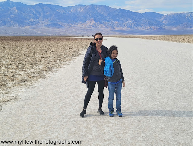
| Alan and I standing on Salt Flats |
 |
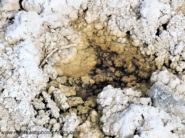
| Salt Crystals of the Badwater |
 |
| Joel's posing for me on this spectacular landscape of Salt Flats in Badwater Basin |
 |
| Boardwalk to Salt Flats in Badwater Basin in Death Valley National Park |
 |
| View of the mountain with Sea Level sign and the parking lot below |
 |
| see the Sea Level sign on the side of the hill? |
 |
| Badwater Basin - not poisonous just salty |
 |
| Map from Pahrump, Nevada A. Death Valley National Park sign B. Zabriskie Point C. Devils Golf Course D. Bad Water Basin/Salt Flats - about 76 mile drive from Pahrump |
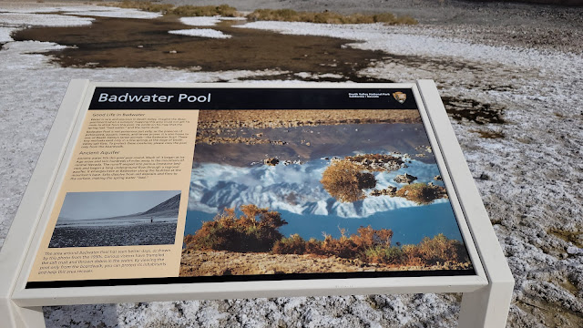
The source of Badwater’s salts is Death Valley’s drainage system of 9,000 square miles—an area larger than New Hampshire. Rain falling on distant peaks creates floods that rush ever lower. Along the way, minerals dissolve from rocks and join the flood. Here, at the lowest elevation, floods come to rest, forming temporary lakes. As the water evaporates, minerals concentrate until only the salts remain. After thousands of years, enough salts have washed in to produce layer upon layer of salt crust.
 |
| Badwater Basin has nice parking lot and a good restrooms |
 |
| It's a Dry Heat |
 |
| Badwater Basin Death Valley California -282ft/-85.5 m Lowest point in North America Dead Sea Jordan/ Israel -1360ft/-414 m Lowest point on Earth |

