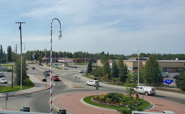
We planned on stopping and resting before continuing to enter the Canada Border because we were worried that they may only give us 24 hours to get through the Yukon Territory.
To get out of Yukon Territory it's about 897 kilometers (557miles) drive from Canada Border in Beaver Creek to British Columbia. It would have been a long and rush day drive.
 |
| The sun was shining at 8pm - our first night rest stop |
Our 2nd Day Travel Journey
Our second day travel journey driving through Canada, we drove 409 miles to Teslin Yukon Territory.
 |
Alaska Yukon International Boundary
|
 |
Approaching Canada Border
|
Entering Canada Border
We arrived at the Canada Border around 8:00am. It was busy, we waited there for few minutes before it was our turn and that's when it got interesting. In June, we drove up from Washington to return home to Alaska after we came back from our trip overseas. And now only August and we are traveling again through Canada back to Washington State. It was a big question. Why why why?
We told them the reason why and that we are going to RV fulltime and that we leased our house for a year. They want to see the lease agreement but we couldn't find it anywhere. We called our tenants but they were not answering their phones. We were hoping that they could snap a photo of the lease agreement and send it to us.
A guard said if we could not show them a proof that we rented our house, they would not let us go through. He even went inside our motorhome and look around and said we don't have enough stuff, it doesn't look like we are going to travel for a long time. He asked where are all your stuff? This guard seemed off edge. We gave them all the documentations we have and all the info.
After he left, Joel check one more place where he could have put the lease agreement. Alas he found it.
Another guard came, more pleasant one, and took the lease agreement. Then when he came back he gave us out documentations back as well as a tag to be placed in our dashboard and a piece of paper to turn in to the other side of the border. We need to turn in this paper on or before the date given otherwise we become fugitive. Anyway, After 3 hours of waiting, we were granted a pass through Canada and on the road again.
 |
At Canada Border Beaver Creek Yukon Territory.
Long line waiting to get approval to drive through Canada. Essential travelers only during Covid-19 pandemic. |
 |
Visitor Record
Issued on August 2nd and expired August 09
We were glad that we didn't have to rush through Yukon Territory and for giving us 7 days to drive through Canada that was plenty of time. We just had to turn this piece of paper to the other side of the border with is in Abbotsford British Columbia on or before August 09 |
Below is what the visitor record says for Conditions and remarks:
Conditions:
- UNLESS AUTHRIZED, PROHIBITED FROM ENGAGING IN EMPLOYMENT IN CANADA
- MUST LEAVE CANADA BY 2020/08/09
- UNLESS AUTHORIZED, PROHIBITED FROM ATTENDING ANY EDUCATIONAL INSTITUTION OR TAKING ANY ACADEMIC PROFESSIONAL OR VOCATIONAL TRAINING COURSE.
- MUST COMPLY WITH ALL REQUIREMENTS IMPOSED ON THE BY AN ORDER OR REGULATION MADE UNDER THE EMERGENCIES ACT OR QUARANTINE ACT AS PER R183 (1) (D)
Remarks/Observations:MUST SURRENDER THIS DOCUMENT TO CBSA ON EXIT UNDER QA 15(3) MUST TRANSIT BY THE MOST DIRECT ROUTE AND EXIT CANADA AT POE BY 2020/08/09
 |
| IN TRANSIT TAG |
 |
Beaver Creek is the first town after we enter Yukon Territory. The town is about 6 miles form Canada border.
|
 |
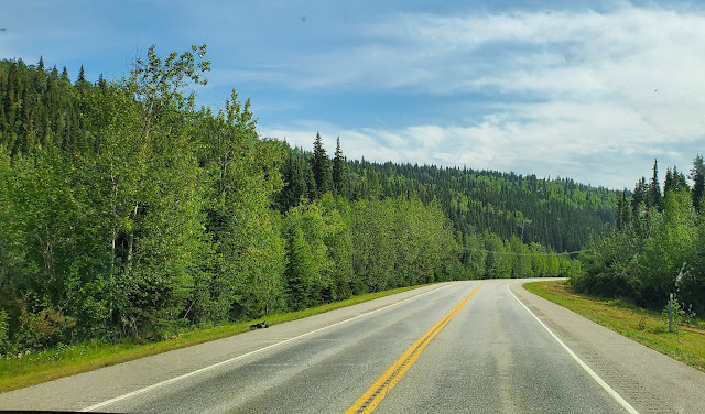
The roads in Yukon Territory Canada
|
The Roads
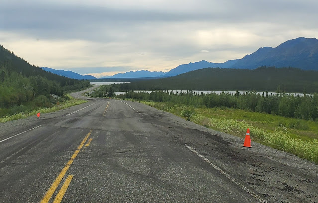
The roads through Canada are good except for this one. About one hundred miles from the US/Canada Border in Yukon Territory the roads are paved but rough. It has been the worst road on this trip. There are plenty of cones and flags on the side of the road for warning, but some rough spots doesn't have any. Had to drive slow. So be careful when you plan on driving on this road.
Also, several miles from the border to Alaska, the roads are pretty much the same. We take our time driving on these roads as well.
 |
Scenic view but don't forget to be careful where those flags are.
|
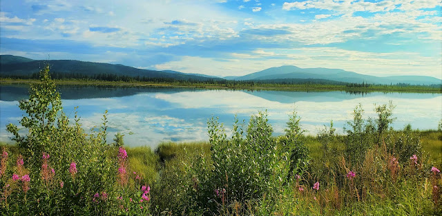
Beautiful Rest Area in Kluane Lake
Kluane Lake rest area is about 131 miles from the Canada Border in YT. We had to stop here after driving on that rough road. Pretty area to stop and rest for a little bit.
 |
Kluane Lake
Beautiful Lake, Mountains, and wildflowers
|
 |
| Beautiful Mountain Range |
 |
| Alan was running back to the RV from exploring the area in Kluane Lake |
 |
We stopped in Whitehorse YT only to fuel up then on the road again
|
 |
| Approaching Johnson Crossing |
Our 2nd night rest stop
We arrived in Teslin YT around 8:03 pm and decided to stay in an RV park and rest for the night. Yukon Motel and Restaurant and RV park. Their location is so conveniently located just right off the highway before the Teslin bridge. I don't remember how much we paid for the night stay but we had to pitch water from the restroom area. It was alright though, we've managed.
 |
Yukon Motel and RV Park in Teslin YT
|
 |
Our second night dinner traveling through Canada, I made
Beef with Asparagus and rice with spicy red chili
|
Our 3rd Day Travel Journey
We left the Yukon RV park and fuel up and around 8:03 am we are on the road again. We drove 363 miles today up to Toad River lodge and RV park.
 |
| Fuel up in Yukon Motel and Restaurant in Teslin YT |
 |
Pretty Cool Moose and Cariboo sculptures
I snapped this photo while waiting for Joel to get done fueling up the Motorhome. |
 |
| Passing through Teslin Bridge Yukon Territory |
 |
Rest Stop at Continental Divide
Drove about 75.5 miles from Teslin to here and it was10:33 am.
|
 |
This is what's written on this plaque
Continental Divide
You are standing on the continental divide - the ridge line that separates two of the largest river drainages in North America. The Alaska Highway crosses the divide at one of the lowest points. Only humps of sand and gravel separate the west-flowing Swift River from the east-flowing Rancheria River.
Drop a leaf into the Rancheria River to the east and it would float to the Liard River near Watson Lake, continue to the Mackenzie River in the Northwest Territories and eventually reach the Beaufort Sea (Arctic Ocean); a long journey of 4,200 kilometres (2,650 miles) for our waterlogged leaf.
Drop a leaf into the Swift River to the west and the current would take it to Teslin Lake and the Teslin River. The Teslin flows northwest to the Yukon River which cuts across northern Alaska enroute to the Bering Sea (Pacific Ocean); a journey of 3,680 kilometres (2,300 miles).
|
 |
Gravel rest stop at Continental Divide. Big area with rest rooms.
locate on the map: 60°04'24.1"N 130°56'31.7"W |
 |
Passing the Sign Post Forest at Watson Lake on a rainy day
|
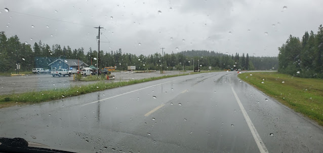 |
To the left of this photo is where the Covid-19 checkpoint for Yukon Territory. Anyone coming here must stop here.
|
 |
Welcome to British Columbia Canada
The best place on earth
|
 |
Warning sign on the side of the road says;
BISON ON HIGHWAY
MUNCHO LAKE-YUKON
BISON SUR L'AUTOROUTE
MUNCHO LAKE-YUKON |
 |
Several bison on the road
|
 |
| Bison |
 |
Beautiful Liard River near Fireside BC
Locate on the map: 59.68776, -127.18184
|
 |
The beautiful Muncho Lake British Columbia Canada
|
 |
| A quick stop to snapped a photo at Mucho Lake |
 |
Alaska Highway
|
 |
We stopped at Northern Rockies Lodge to see if they have available spot for a night. Unfortunately they only have one site available and the location was not that great for us and on top of that the price per night is a little bit high so we continue driving. We knew that Toad River Lodge was only 37.5 miles from here.
|
 |
Alaska Highway British Columbia
|
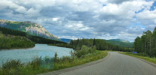 |
Beautiful Mountain and River.
Approaching Toad River Lodge
|
Our 3rd night rest stop
We decided to stay at Toad River Lodge since we've been here in our past travels and loved the place. See my other post about this place
Toad River Lodge and RV Park. We got a full hookup for $42 a night. It was a good day drive 363 miles from Teslin to Toad River.
After we got done setting up, we decided to order a Bison burger from the Toad River Lodge restaurant. The burger wasn't all that great, something was off but we all eat it anyway. An hour after we ate our dinner, Joel started to feel hurt. His stomach was hurting so bad. He never had this kind of stomach pain before. He was in excruciating pain. Could it be food poisoning?
We were worried the whole night. Also added to our worries was there is no clinic or hospital nearby. It was a restless night indeed. He took some medicine for the pain and drink lots of fluid.
 |
Arrived at Toad River Lodge and RV Park at 4:21 pm
|
 |
| This is where we park for tonight and rest. Our 3rd day travel journey through Canada |
 |
Enjoying the lake at Toad River Lodge.
Beautiful evening. The rain had stopped and the sun shines |
 |
Sandy by the lake at Toad River Lodge and RV park
|
Our 4th Day Travel Journey
We left Toad River Lodge and RV park around 8:40 am. Joel still not feeling well from last night. He still was weak and still have an upset stomach. But he wants to move on and try to get to a nearest town just incase he needs to see a doctor.
 |
| Alaska Highway pass Toad River Lodge |
 |
Our first stop after we left the Toad River RV park
KP 621
|
 |
Drove about 30 minutes and we had to stopped. Joel still need some rest. He was too weak and not feeling well. He also had a little fever. We rested here for about an hour and half.
|
 |
On the road again... the Alaska Highway BC Canada
I tried to drive this motorhome again (I tried it before) but the steering wheel is too sensitive for me. I drove for about 5 miles but driving it way too slow because I was not comfortable at all.
|
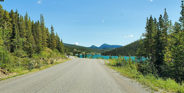 |
The Summit Lake
|
 |
| Passing the spectacular Summit Lake British Columbia Canada |
Our 4th night rest stop
We only drove 116 miles today from Toad River Lodge to Triple G Hideaway RV park in Fort Nelson British Columbia, Canada. Joel was not feeling good still and this place was a good spot for us to stop for the rest of the day.
We got a really nice spot and paid $47.25 for one night stay.
 |
The park wasn't that full. I think it's because of Covid-19.
|
 |
Saloon and Restaurant at Triple G Hideaway
|
 |
| Nice site. Pull through and full hook up for $47.25 per day |
Our 5th Day Travel Journey
On the road again! Joel felt much better after yesterday's much rest at Fort Nelson. We left Triple G hideaway RV Park early around 7:40 am then we stopped at Petro-Canada for fuel before leaving Fort Nelson. Today we drove 325 miles to Chetwynd, BC Canada.
 |
Alaska Highway in British Columbia
|
 |
Stopped for short break and let the dog's out!
Location: 57.05683, -122.54624 |
From Peace River BC Canada we decided to take highway 29. We've never been on this road before and sure glad we did. Driving less miles to Chetwynd and slower pace. Beautiful country!
 |
Log Trucker had a long way to ascend
Location: 56.28833, -121.22427
|
 |
| Beautiful view of the valley below |
 |
| Peace River |
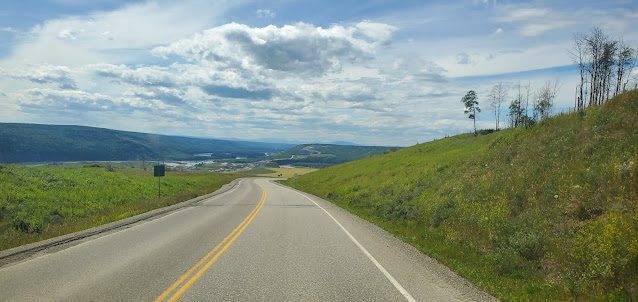 |
| Scenic Highway 97 |
 |
Hays at Hudson's Hope BC Canada
|
 |
| Passing through the town of Hudson's Hope |
 |
| Hudson's Hope Suspension Bridge |
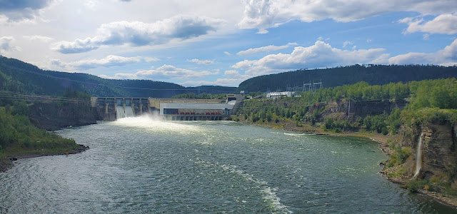 |
| Dam, Peace River, and little waterfall to the right. Beautiful view from the Hudson's Hope Suspension Bridge |
 |
| Junction - turning right to Prince George |
 |
Passing the town of Chetwynd BC Canada
|
Our 5th night rest stop
For our fifth night, we decided to stay at Caron Creek RV park about 15 miles pass the town of Chetwynd. We've been here before and this place is always almost full. It's a good park, easy to park the RV and the owner was really nice and friendly. We paid $31.50 for a night. The noise from highway and train didn't bother us at all.
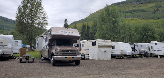 |
| Site #23 at Caron Creek RV Park |
 |
| I made some Lumpia for our dinner |
Our 6th Day Travel Journey
We got up early and on the road again by 7:29am. Joel was feeling much better. It was a nice morning, a little overcast. We arrived in Prince George around 11:01 and fuel up at Super Save Gas. It was raining when we passed Prince George. Today we drove 425 miles to Clinton, BC Canada
 |
Welcome To Prince George
BC's Northern Capital |
 |
| Prince George |
 |
| Quesnel Downtown |
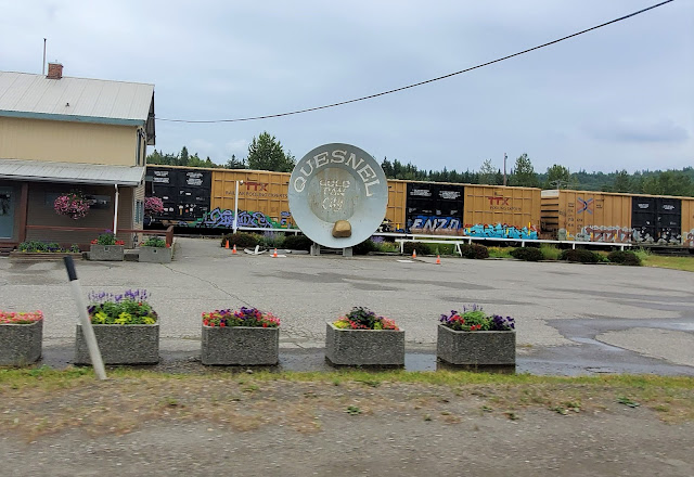 |
Quesnel
Gold Pan City |
 |
| Rest Stop |
 |
Approaching William Lake
|
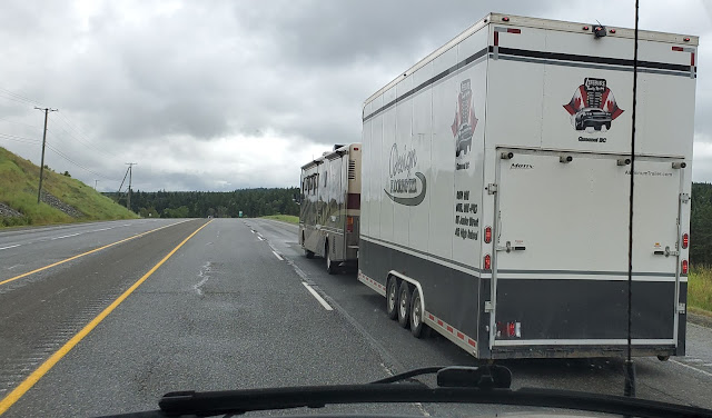 |
| Big motorhome is pulling a big trailer - almost the same length |
 |
| Cariboo Highway |
 |
| Pretty nice home and yard over Lac La Hache |
 |
Passing South Cariboo 100 Mile House BC, Canada
Giant Skis |
Our 6th night rest stop
We arrived at Clinton, British Columbia around 4:30 pm and decided to spend the night at Gold Trail RV Park. They are conveniently located right off the highway and we only paid $20 full hookup for the night.
 |
| Clinton, British Columbia, Canada |
 |
| View of town from RV Park |
 |
Gold Trail RV Park
got full hookup for only $20 a night site#1 |
 |
| Alan got a chance to play outdoor with his plushies |
 |
| Rainbow over the dark clouds in Clinton, B.C. Canada |
7th Day Travel Journey
Our 7th day driving was our last day travel journey from Alaska through Canada to Washington State. I love the Trans-Canada Highway. Beautiful drive and scenic highway.
We left Clinton before 8:30 am and arrived in Abbottsford Canada Border around 12:30pm.
Joel turned in the Visitor Record to the border security. This was very important because not turning this in will make us fugitive and we cannot enter Canada again.
We drove about 361 miles today from Clinton BC Canada to Birch Bay Washington.
Our Travel Journey from Alaska through Canada ended in Birch Bay Washington. However, another travel journey started from Birch Bay. Stay tuned and come follow us on our journey.
 |
On the road again
|
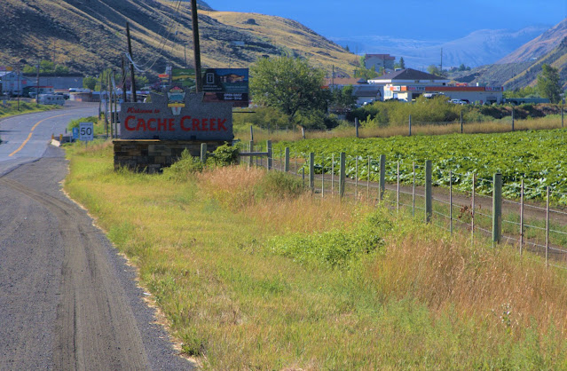 |
Cache Creek, British Columbia, Canada
|
 |
| Shades of green |
 |
| Scenic highway and farm country |
 |
Colorful hillside
|
 |
Blue skies, scenic highway, pretty river and nice little island
|
 |
| Scenic Trans Canada Highway and the beautiful Thompson River |
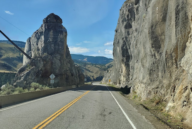 |
Cut through rocks
Scenic Trans Canada Highway |
 |
More of Thompson River
The scenic Trans Canada Highway
|
 |
Approaching Spences Bridge
|
 |
| Just passed Spences Bridge - driving on the other side of the river now |
 |
| Train Tunnel |
 |
Hell's Gate was closed due to Covid-19
|
 |
| The mighty Fraser River |
 |
| We passed through 7 tunnels on Fraser Canyon |
 |
| Crossing the Fraser River at Hope British Columbia Canada |
 |
| Joel's walking towards the Canada Border to turn in the Visitor Record to make sure we won't become fugitive of Canada! |
Welcome to USA
 |
| US Border in Sumas, Washington State |
 |
The US Border Guard moved the barriers for us to drive through
|
 |
| Welcome back to USA |
It was a long trip but really grateful we've arrived in Washington State safe and alive! We made some great memories that we'll forever be grateful. Despite of Covid-19, our travel journey through Canada was wonderful.
 |
The Passengers - Alan and I
|
 |
| The Driver (Joel) and back seat passenger (Sandy the dog) and me |
Thank you!
I hope you enjoyed my photographs


