Approximately 72 miles away from Fairbanks up to the North. On Steese highway to Nome Creek Rd/US Creek Road is where the Table Top Mountain Trailhead start. It's a good day drive and a hike up to Table Top Mountain. Amazing scenery!
 |
| Almost to the top |
 |
| A scenic drive on Nome Creek/US Creek Road |
 |
| View of Table Top Mountain |
 |
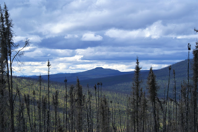
| View of Table Top Mountain through burnt trees |
 |
| Table Top Mountain is in White Mountain which is a Federal land managed by Bureau of Land Management. There are several activities the White Mountains has offer. White Mountains |
 |
| The Table Top Mountain trail map. It's a loop trail, a 3 mile hike and a moderate climb. |
 |
This was part of the Table Top Mountain Trail Welcome sign.
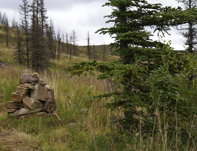
"Wildfire during the summer of 2004 swept through Nome Creek Valley, charring the forest. Table Top Mountain Trail is still worth hiking for panoramic views from the top. The lower parts of the trail pass through a regenerating spruce forest. Trees that fall across the trail are periodically removed. Watch the trees that my still tip over in the wind or after rain has soaked the ground. Above tree line, the trail is marked with rock cairn. From the top, on clear days, you can experience a panoramic view of the surrounding highlands, Lime Peak, the granite tors in the Quartz Creek Trail area and occasionally, the Alaska Range." |
 |
| The trail winds through burnt and charred spruce trees |
 |
| Beautiful Wildflowers |
 |
| A great place to go picking for wild Alaskan blueberry |
 |
| It was a cloudy day and when we reached almost to the top, the temperature dropped. It was too cold for me to continue, so we decided to head back down. |
 |
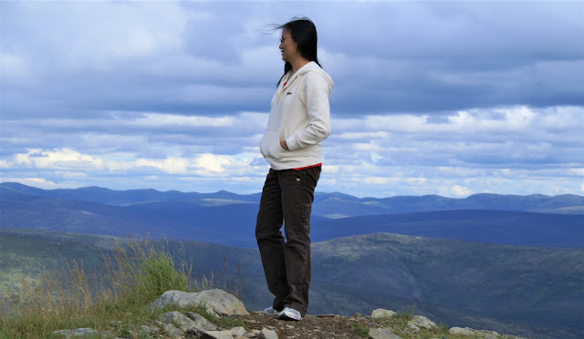
| View of the valley from the top |
 |
Davidson Ditch Historical Site
White Mountains National Recreation Are
Bureau of Land Management |
 |
| Old tailing files from the gold dredge that went through the valley |
This hike was taken awhile back and it was a really good trip. We still have our dear dog Abby. Hopefully this summer we get to go there again and with our son Alan.
 |
| Table Top Mountain Trails 72 miles from Fairbanks |
 |
| Please continue to join me in my journey to blogging from A to Z this month of April |


